Map of Camargue
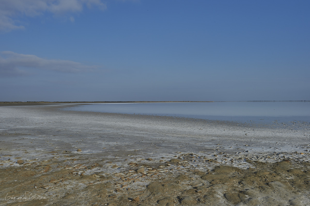
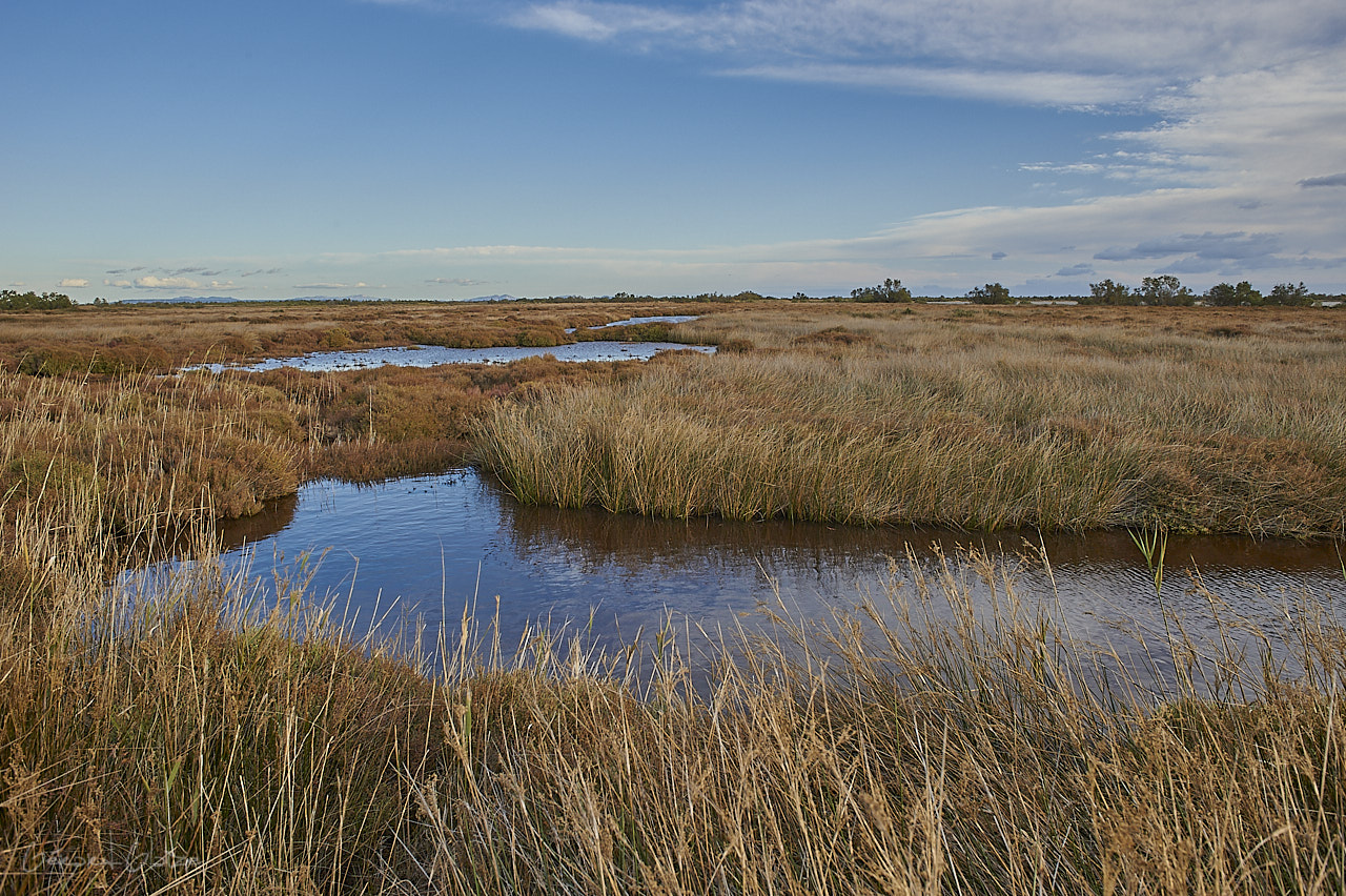
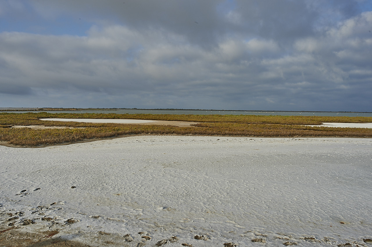
Map of the Camargue allows us to locate this region which is located between the two main arms of the Rhône delta, to the east the large Rhône, to the west the small Rhône, it is a vast alluvial plain of more than 85,000 hectares. The Rhône delta is the second largest in the Mediterranean after that of the Nile. This essentially lacustrine region has many swamps and ponds, the most important being the Etang du Vaccarès. from Port Saint Louis du Rhône to the East, the latter two being located on the Mediterranean coast.
Map of Camargue and its Régional park
See the article from the Blog on the Camargue
The Camargue Regional Park, with an area of 84,800 hectares of land, 34,300 hectares of sea, extends mainly over the communes of Arles and Saintes Marie de la Mer. It is the largest wetland area in France.