The Alpilles
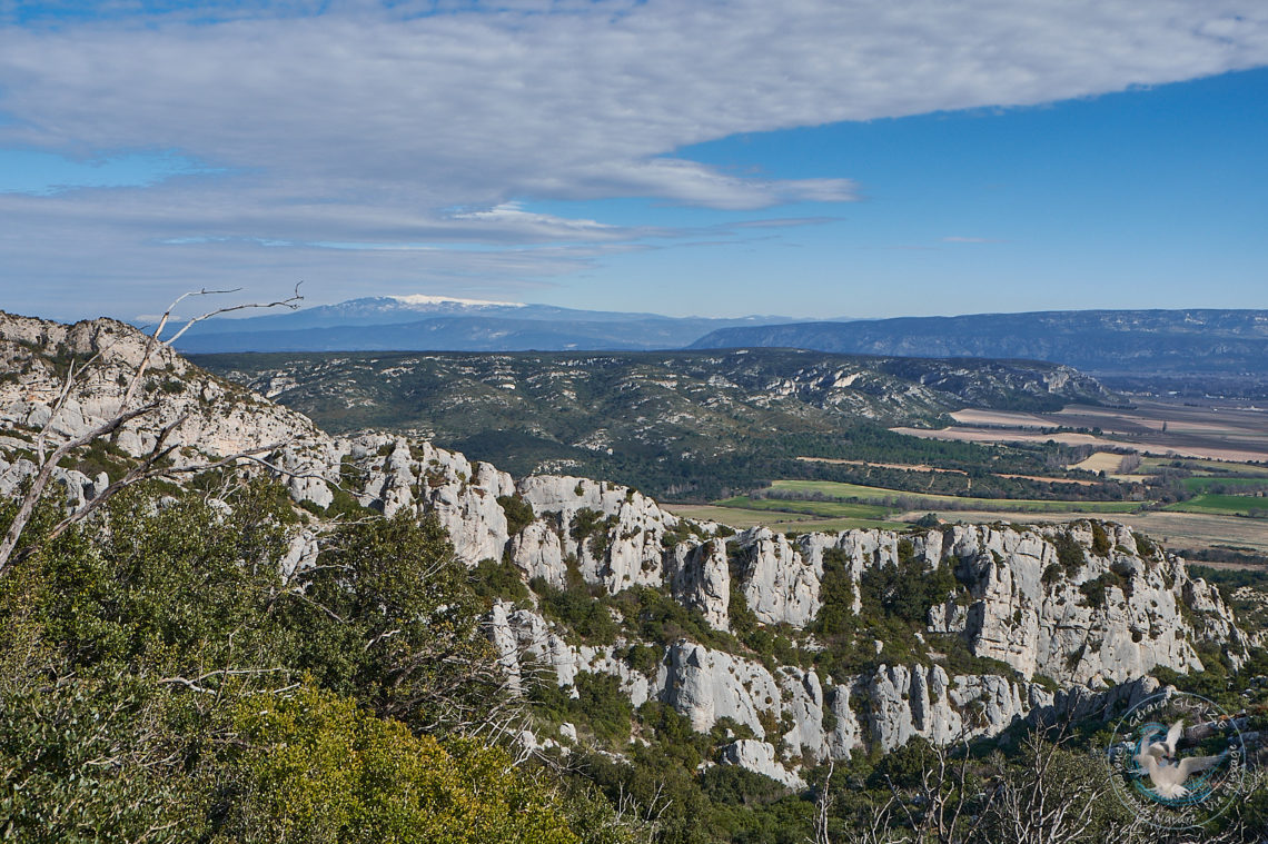
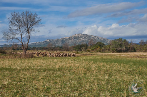
The Alpilles massif is a low altitude mountain range. The original landscape is white limestone rocks. It extends from west to east between Tarascon and Orgon. Its area is 50,000 hectares. The Alpilles massif is located in the south of France. It is located in the northwest of the Bouches-du-Rhône department. It extends more precisely along an east-west axis for approximately 25 km. And this from the Rhône valley to the Durance valley.
Several summit areas make it up:
- Firstly, the main part of the massif, called the Alpille (aupiho, “Little Alpe”), stretches from the Saint-Gabriel chapel in Tarascon to the road linking Aureille to Eygalières.
- The Opies, to the east of the Alpille, are made up of three small peaks: the Opies crests, Mont Menu and Défends (communes of Eyguières, Lamanon and Aureille).
- The Hills (or Rochers de la Pène) are a narrow range stretching to the south of the massif from which it is separated by departmental road 17 (Arles-Paradou).
- Les Costières, located in the commune of Saint-Martin-de-Crau, is a plateau which marks the southern limit of the massif. This gains altitude as we progress towards the north. Furthermore, it slopes steeply onto the Baux marsh, south of the Pène rocks.
- Finally, the Chaînons are a set of low altitude peaks (approximately 50 meters). They are located between Aureille and Montmajour, and characterized by the sets of valleys they shelter. Thus the Caisses de Jean-Jean are perhaps the best known of these links.

-
The Alpilles
The Alpilles are a low altitude mountain range, located in the south of France in the northwest of the Bouches-du-Rhône department.